 Skip to Content


Bristers - Minnieville
Project Overview
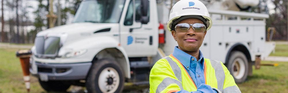
At Dominion Energy, we are committed to providing safe, secure, and reliable energy to all our customers. The Bristers-Minnieville project involves replacing the wire, a process known as reconductoring, between Bristers Substation, near Cromwell Road and Seneca Lake Drive in southeast Fauquier County, and Minnieville Substation, near Minnieville Elementary School in Prince William County.
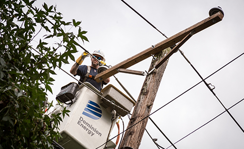
As part of this project, crews will also replace a number of structures and components of this line, as they are at the end of their service life.
On April 24, 2023, the Virginia State Corporation Commission (SCC) approved our plan. Please refer to the legal page to review the Final Order.
Danger Trees
Identifying danger trees in the electric transmission right of way is an important step in the preconstruction process. Danger trees are trees located outside the right of way that have the potential to fall within 10 feet of the proposed transmission line. Removing this vegetation is necessary to maintain safe and dependable electric service in your community.
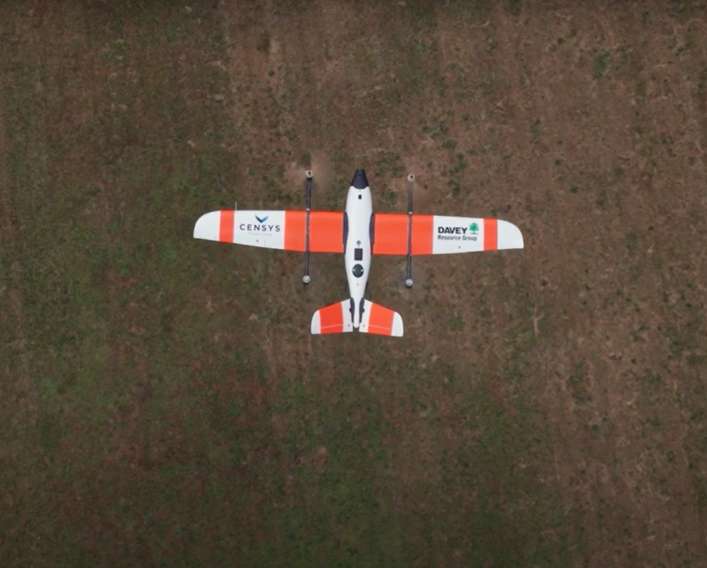
In March 2024, a certified pilot conducted danger tree surveys along the 15.2-mile electric transmission line between Bristers and Minnieville substations using an FAA-registered drone. Utilizing drones to identify danger trees is safe, efficient, accurate, and leaves a small carbon footprint.
Key Information
- Flights were conducted on weekdays between 7:00 a.m. and 7:00 p.m.
- Noise levels were minimal during flight, though they were moderate during takeoff and landing.
- Drones flew at an approximate height of 200 to 300 feet.
- Drones were FAA-registered and operated by certified drone pilots.
- Fixed-wing drones were used for surveys. Please see the reference photo for an example.
Timeline
- June 2022 – Notified public of project
- April 2023 – SCC Final Order issued
- November 2024 – Construction began
- Late 2025 – Tentative construction completion
- Early 2026 – Restoration activities completed
Construction Related Impacts

Aging Infrastructure
The equipment has been in service for 60-80 years and needs to be replaced.

Neighborhood
Access to surrounding neighborhoods may be impacted.
Traffic
This project is expected to have some traffic impacts.
Noise
Noise levels will be moderate; permits are in place.
Environment
This project may have limited environmental impacts.
Legal
The Virginia State Corporation Commission (SCC) has regulatory authority over all energy providers in Virginia. Among other responsibilities, the SCC validates the need for a proposed line and approves the route and structures. In reviewing a proposed project, the SCC must consider whether potential impacts on scenic assets, historic districts and the environment have been reasonably minimized.
On 8/3/22, Dominion Energy filed its application with the SCC. The SCC issued its Final Order approving the project on 4/24/23. Documents related to the case are available to the public on the SCC Docket of the SCC website or search by Case No. PUR-2022-00123 in the " Search Cases " section. In addition, interested parties may visit the SCC Case Comments Page where individual mailboxes are available for each case accepting public comments.
To learn more about this process, view our SCC process map.
SCC Timeline (Updated as of April 26, 2023):
- November 18, 2022 – Notices of Participation deadline
- December 16, 2022 – Respondent Testimony deadline
- February 10, 2023 – Deadline for Public Comments
- February 10, 2023 – Deadline for public witnesses to indicate desire to testify
- February 14, 2023 – Public Witness Hearing, 10:00 a.m.
- February 15, 2023 – Evidentiary Hearing, 10:00 a.m., 2nd floor courtroom SCC
- April 24, 2023 – SCC Final Order Issued
Meetings
Virtual Community Meeting
Wednesday, June 29, 2022
Miss the meeting? View the recording
Timeline
Upcoming
Early 2026
Tentative completion of restoration activities
Late 2025
Tentative construction completion
2024
November 2024
Construction Began
Late March 2024
Surveys conducted in the right of way
2022
2023
Fall 2023
Soil borings conducted in the right of way
August 3, 2022
Filed project with the State Corporation Commission (SCC)
June 29, 2022
Hosted a Virtual Community Meeting
Powerlines 101 - Learning Zone
Learn how the energy grid works; along with our processes to build and maintain electric transmission lines.
Discover more about your lines
